As it is the start of our school year we have been exploring our community and our place in it. A great activity to help support the children's understanding of where they live and their place in the world has been creating this paper version of Google Earth.
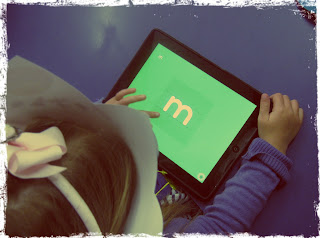
We tried to look at the Google Earth app on the ipad (which is pretty amazing if you haven't checked it out), but strangely enough the ipad internet connection was playing up, so we used Google maps on the interactive whiteboard instead. Luckily, I also had a big book to share which is based on a similar concept about where we are on Earth.
The children were fascinated to learn about how we all go to Totara Park School in Totara Park, and that our city is called Upper Hutt and is part of Wellington (there were some misconceptions!).
And did you know that Wellington is in New Zealand?
And New Zealand is on Earth?
I found these little glow in the dark stars to stick around the outside of Earth to show outer space, but glitter would look great too.
This activity took a lot of preparation before we started and as I didn't want to spend longer than a week on it I did the majority of the cutting prior to starting. But we were still able to practise several important school skills, colouring (mostly within the lines), writing our names, and gluing (we used glue sticks).
We also practised some life skills. At Totara Park School we talk about skills and attitudes that a TP (Totara Park) kid tries to show.
'I persevere - not giving up even when something is hard', it is not easy completing such a long task with so many parts to finish.
'I motivate myself - I tell tell myself I can do this', especially when colouring in the sea blue and the land green.
'I ask lots of questions - to help me understand', the children had plenty of questions about where they live and what a city is, and what our country is, I even had questions about the sun and rockets!
As
a hint I suggest keeping each child's circles together with a paper
clip until you are ready to join them with the split pin. I took photos
and used different images that I googled for our maps.


